
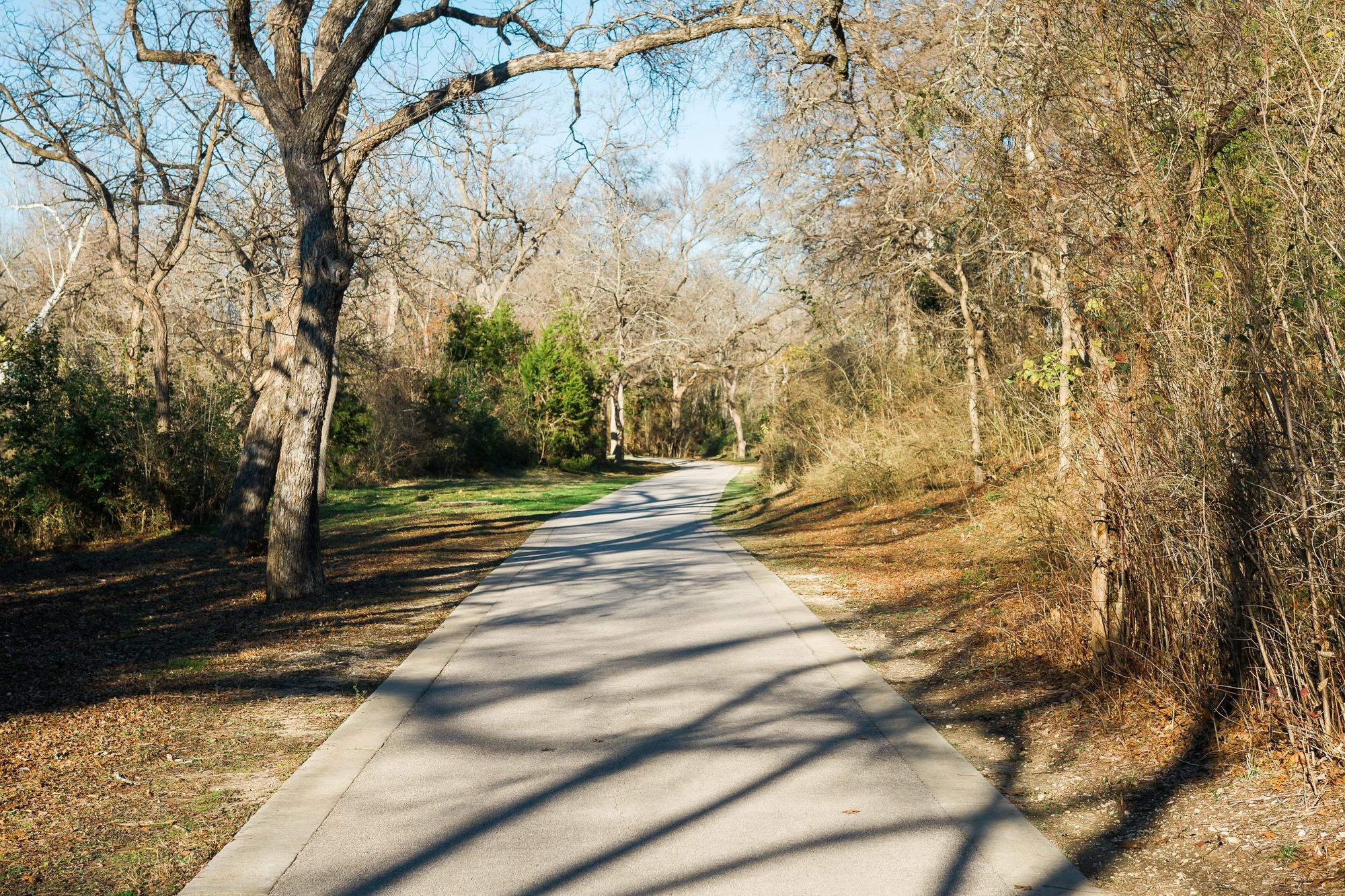
Here is a number worth knowing if you are new here: the city’s paved creekway network now covers about 105 miles. The San Antonio greenway trails, officially the Howard W. Peak Greenway Trail System, follow the Salado, Leon Creek and Medina River corridors, and they open every day from sunrise to sunset.
Late fall is a good time to finally try one. The worst of the summer heat is behind us, and the holiday rush has not started yet. This guide covers how the San Antonio greenway trails are laid out, where each main corridor starts, what is being built next, and why a trailhead nearby is worth weighing when you shop for a home.
How the San Antonio Greenway Trails Fit Together
According to the City of San Antonio’s greenway trails page, the system includes more than 80 main trailheads and roughly 1,700 acres of open space. It is made up of five pieces: Leon Creek, Salado Creek, the Medina River, the Westside Creeks and a handful of smaller tributary trails.
Most of it runs through creek floodplain the city has bought over the years. That is why the trails feel tucked away even when a busy road is a few hundred yards off. The paths are paved multi-use trails, so you will share them with runners, cyclists, strollers and dog walkers.
The money behind it has changed over time. Community Impact reported in February 2026 that funding began in 2000 with a voter-approved sales tax initiative, renewed in 2005, 2010 and 2015, before shifting to bonds around 2020. The 2022 bond program set aside $103.5 million for the greenways, and Bexar County added $84.3 million as a one-time commitment.
The Three Main Corridors at a Glance
If you are new to the system, start with one of the big three. Mileage below comes from the city’s own corridor pages.
| Corridor | Part of town | Paved miles (city figures) | Good first trailhead | Known for |
|---|---|---|---|---|
| Salado Creek | North Central, then East and Southeast | North section from Loop 1604 to Rittiman Road, plus 7.2 miles from Jack White Park to Southside Lions Park | Voelcker Homestead, 1021 Voelcker Ln. | Pecans, live oaks, limestone cliffs, a long wetland boardwalk |
| Leon Creek | Northwest and West | About 20 miles (North and Central), plus shorter southern loops | O.P. Schnabel Park, 9606 Bandera Rd. | Limestone bluffs, wildflower fields, cottonwoods |
| Medina River | Far South | About 17 miles | Medina River Natural Area, 15890 Hwy. 16 S. | Cypress trees, river views, lakes and migratory birds |
Salado Creek Greenway
The northern Salado runs from Loop 1604 down to Rittiman Road on asphalt and concrete, with ten trailheads along the way, including Walker Ranch Park, McAllister Park, Lady Bird Johnson Park and Robert Tobin Park. The city describes this stretch as shaded by big pecans and live oaks, with cliff faces and natural limestone.
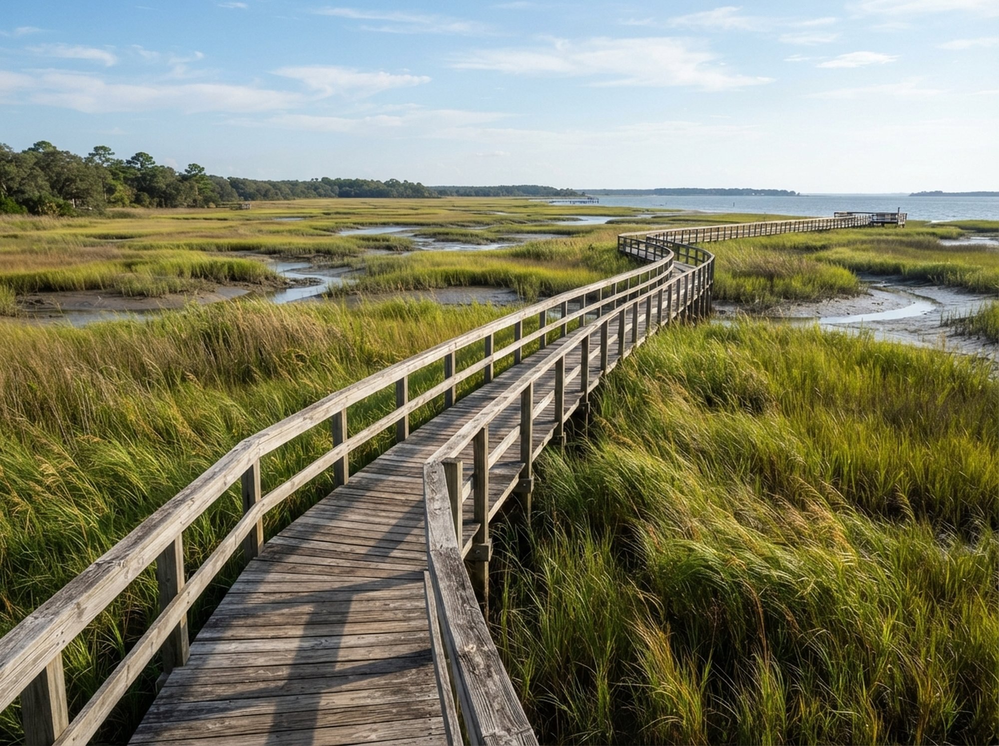
Two spots stand out. Phil Hardberger Park’s Voelcker Homestead Trailhead has parking at 1021 Voelcker Lane and puts you right on the trail. Farther east, the Phil Hardberger Park Conservancy points to the Morningstar Boardwalk, a 3,400-foot boardwalk over the Salado Creek wetland near Nacogdoches Road and Lady Bird Johnson Park.
On the East and Southeast Sides, a separate southern section starts at Jack White Park (3803 Seguin Rd.). The San Antonio Report noted that a 3.1-mile extension opened at the end of 2022, carrying that stretch to Southeast Military Drive across from the Arboretum San Antonio.
Leon Creek Greenway
Leon Creek covers the Northwest Side with about 20 miles of paved trail linking O.P. Schnabel Park, Bamberger Nature Park, Cathedral Rock Park, Earl Scott Pond and UTSA. Expect limestone bluffs, open fields that bloom in spring, and stands of cottonwoods. O.P. Schnabel on Bandera Road is an easy place to park and pick a direction.
One detail we like: the VIA Transit Center Trailhead at 3215 Northwestern Drive has direct bus access, so you can ride to the trail without a car. Down south, a 2.6-mile loop near Levi Strauss Park includes outdoor fitness stations. Leon Creek and Salado Creek connect at Eisenhower Park on the far north edge of town, so a long ride can link both.
Medina River Greenway
The Medina River trail runs about 17 miles from the Medina River Natural Area to just south of Mission Espada. The city rates it easy, with one caveat: there are steep switchbacks in four places. Big cypress, oak and pecan trees line the river, and the trail skirts Cassin Lake and Mitchell Lake, where wetlands draw migratory birds.
Because the northern end connects toward the Mission Reach, a ride here pairs well with a stop at the missions. Our post on essential San Antonio experiences has more on that part of town.
Before You Head Out

- Mind the hours. All San Antonio greenway trails are open daily from sunrise to sunset, and with the time change in early November, that window gets shorter fast.
- Check closures first. Creek trails can close after heavy rain. The city posts trail closures on its parks closures page, linked from the greenway page.
- Grab the map. The city’s greenway map and trailhead guide (PDF) shows every trailhead and gap in the network.
- Bring water. Amenities vary by trailhead. Some have restrooms and fountains, but not all do, so plan as if yours will not.
Curious what the weather is usually like the rest of the year? Our San Antonio weather overview breaks it down by season.
What Is Coming Next
The San Antonio greenway trails are still growing. In a February 2026 Community Impact report, the city’s parks capital programs manager said about 6 more miles were under construction, with the full loop around the city estimated five to seven years out. A few projects on the list:
- A planned 1.6-mile Leon Creek segment in District 8 that would connect The Rim to Raymond Russell County Park near I-10. Its design is complete, and the city was finishing land purchases in January 2026.
- A future 7-mile project designed to circle Lackland Air Force Base and Port San Antonio, filling a gap on the Southwest Side.
- Work to close gaps along Leon Creek south of Pearsall Park, including a railroad crossing near Quintana Road that the City Council sought state grant money for in January 2026.
Why a Nearby Trailhead Matters When You Buy
For a lot of buyers, a paved trail a short drive or bike ride away is the kind of feature that never shows up on a listing sheet but gets used every week. Since most trail land sits in floodplain, it also tends to stay open space, though that same fact is a reason to look closely at any home’s flood zone before you write an offer.
On the North Side, established neighborhoods such as Shavano Creek and Castle Hills sit between the Salado and Leon Creek corridors, and each guide lists the homes for sale there right now. Compare any address you like against the city’s trailhead map to see how far the nearest access point really is. If you would rather start wide, you can also search San Antonio homes for sale by area and then check the map.
Still deciding whether to make the move? Our San Antonio moving guide covers the practical side of settling in.
Quick Answers
How long are the San Antonio greenway trails?
The city puts the system at about 105 miles of paved, multi-use trail, with more segments under construction.
Are the greenway trails open at night?
No. They are open daily from sunrise to sunset.
Can I get to a trailhead by bus?
Yes, at least one. The VIA Transit Center Trailhead on Northwestern Drive connects directly to the Leon Creek Greenway.
Find a Home Near the Trails
If living close to the San Antonio greenway trails is on your wish list, the advanced home search lets you narrow listings by area, price and the features that matter to you. Or call our team at (210) 492-9703, and we will help you sort out the areas that fit how you want to spend your weekends.


